
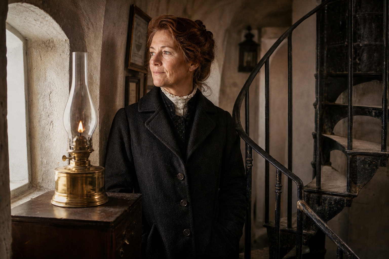
Elsa Lindholm
Senior Keeper, North Head Light (1912–1931)
On fog-heavy nights she timed every lens polish to the minute, writing in her log that the glow had to feel “steady as breath” for ships sounding the outer shoals.
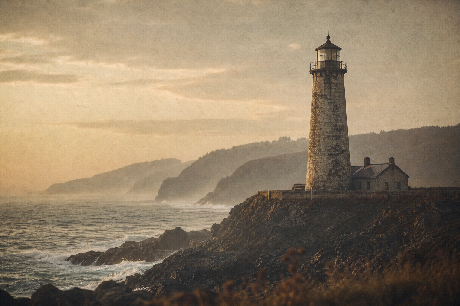
Northern Coast Heritage Archive
Explore archival photographs, keeper stories, and preserved towers that trace the shoreline’s long memory of navigation and coastal life.
Historical Context
They stitched together routes, forecasts, and shoreline life—turning exposed headlands into trusted points of memory for crews, keepers, and nearby towns.
Fixed lights, range marks, and signal rhythms made dangerous passages legible in fog and night transit.
Keepers logged wind, surf, and visibility, creating local records that informed mariners long before modern forecasting.
At each tower, supply paths, family routines, and rescue work tied isolated stations to everyday community life.
Collection preview
A quick scan of the materials gathered along the northern coast—images, notes, routes, and working traces that frame each lighthouse in lived context.
Glass reflections, weathered iron, and evening haze captured with a quiet archival tone.
Desk fileDaily entries, pencil corrections, and brief personal remarks that humanize routine watch duty.
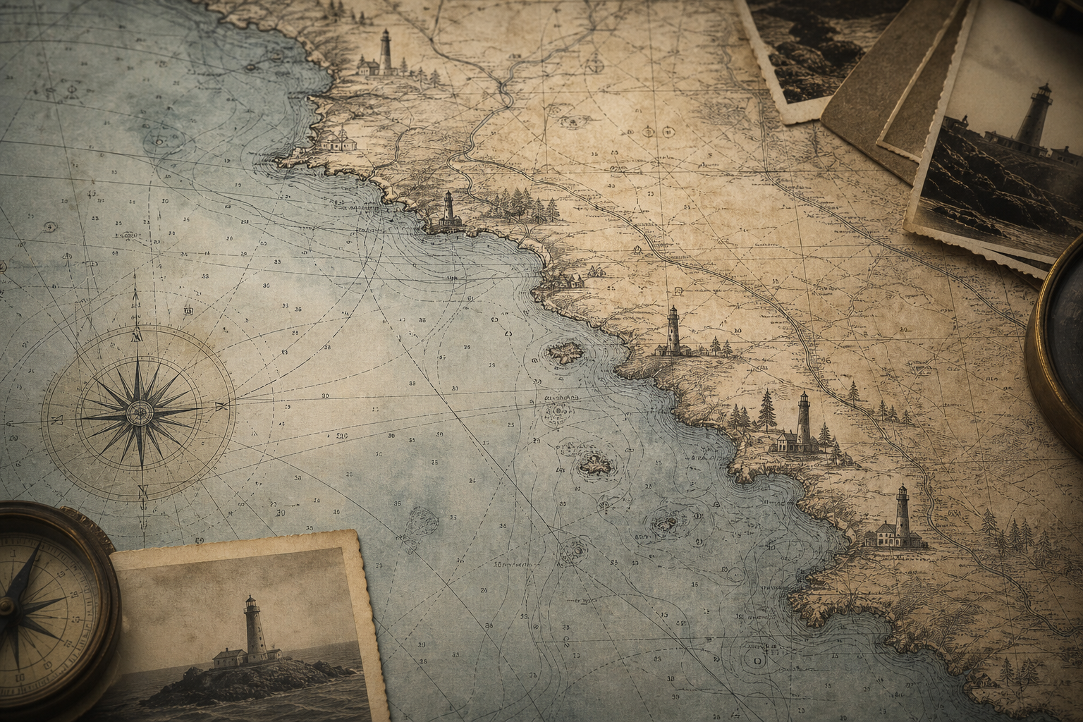
Chart folioMap fragments and beacon paths showing how mariners read the coastline in low visibility.
Maintenance recordCare notes and restoration traces that reveal how towers endured harsh seasonal change.
Keeper Stories
Three brief portraits from the northern coast, where daily routines kept mariners and communities oriented through long seasons.
Senior Keeper, North Head Light (1912–1931)
On fog-heavy nights she timed every lens polish to the minute, writing in her log that the glow had to feel “steady as breath” for ships sounding the outer shoals.
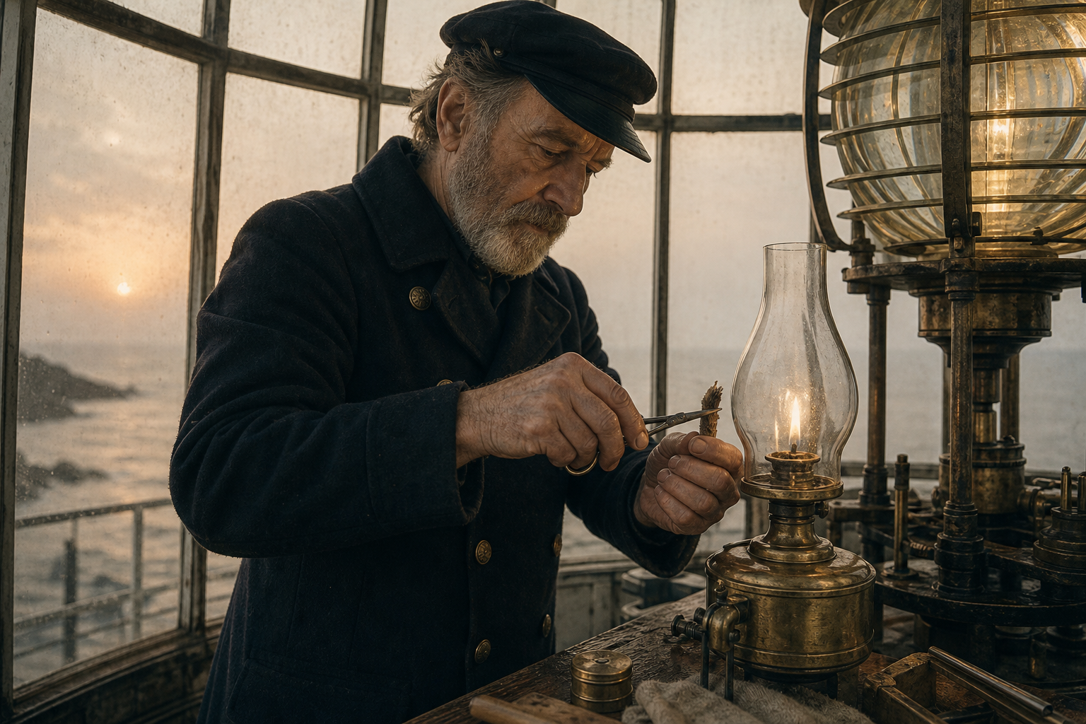
Assistant Keeper, Bracken Point (1904–1918)
He marked each dawn by listening for the fish fleet horns, then checked the prism for salt haze before schoolchildren arrived to deliver fresh coal.
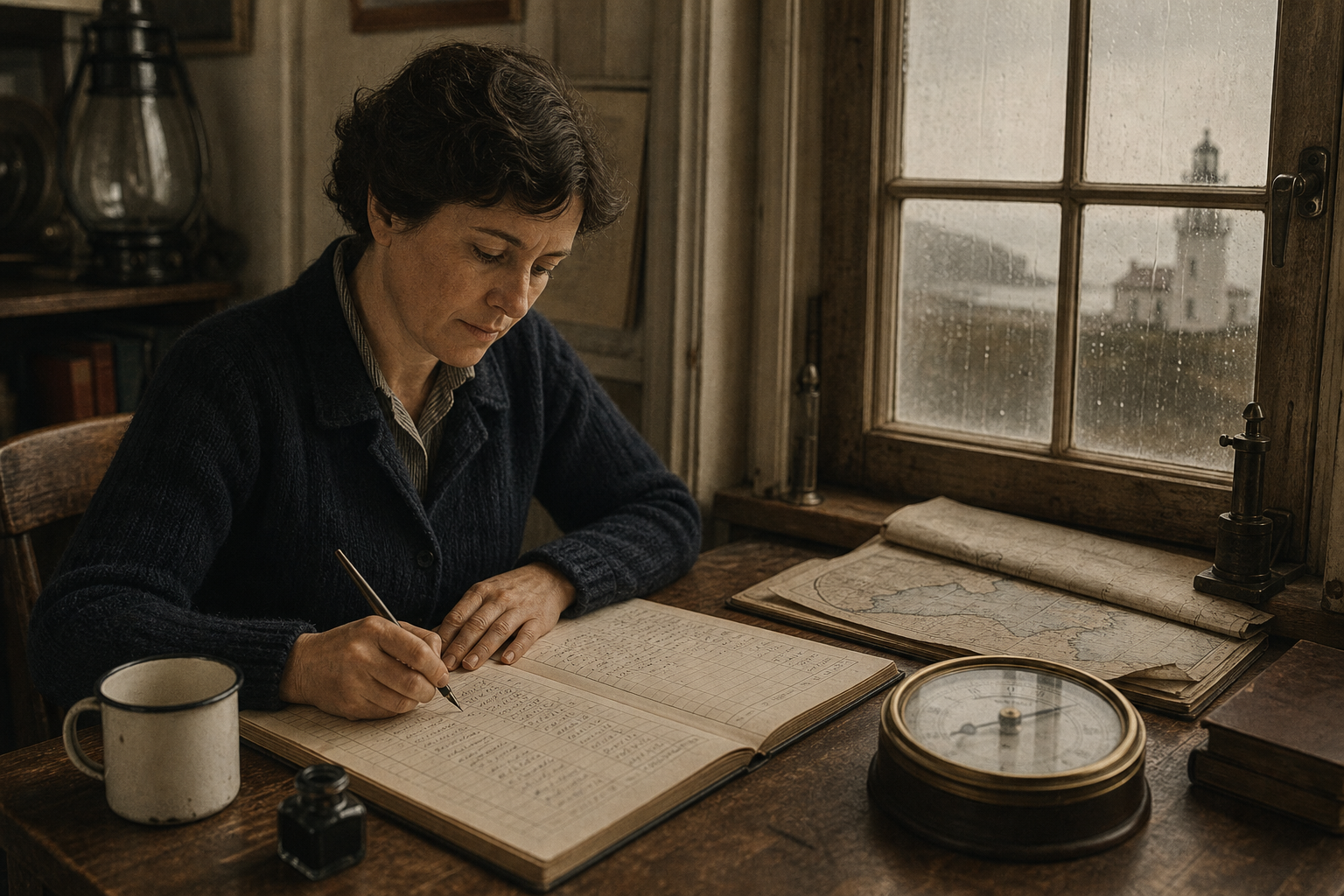
Relief Keeper, Gullwatch Tower (1936–1947)
During winter storms she copied weather notes twice, keeping one ledger in the kitchen so a sudden power drop never erased a night’s observations.
Preserved towers map
A geographic view of preserved lights, linking keeper stories to the coastlines they served.
Visit & Preservation FAQ
These notes help set expectations for visiting preserved lighthouse sites and understanding how archival records are presented across this reference.